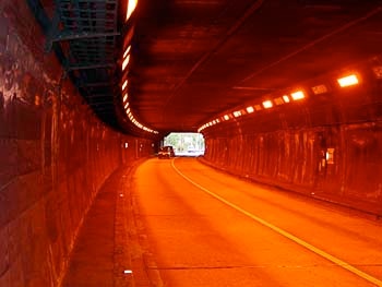
Along the way is one long (2 km) tunnel, but there was little traffic on the road. And, as you can see from this photo, the interior was very well-illuminated.


Along the way is one long (2 km) tunnel, but there was little traffic on the road. And, as you can see from this photo, the interior was very well-illuminated.
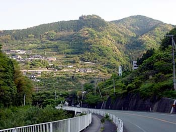
From that point on, it was downhill all the way to the coast, with views of Shikoku’s characteristically steep hillsides terraced with paddies and households.