


As of June '05, this billboard was visible on a brief uphill on the section of regular road before you get to the Nara bikepath. It appears to be a typical Chamber of Commerce type advertisement promoting the blend of traditional/modern culture in the region: the title could be translated "Yamato's Great Leap Forward - Path of Interchange; Kyoto- Nara- Wakayama." The symbol in the left hand is the character "dai" (big) and refers to the big character lit on a hillside of Kyoto in one of the more memorable summer festivals. The whale undoubtedly refers to Wakayama's history as a whaling port, principally at Taiji. To the right of the whale you can see the Kansai International Airport.
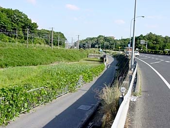
Just as the aforementioned uphill levels out, you'll see a road below to the left, with a bikepath sign. This is the bikepath to Nara; there's an access road a bit further on from the spot shown here that will allow you to get down to it.