◊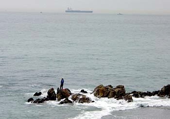


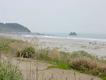


Here you see the surfing beach as seen from a distance (from the location of the previous photograph, in fact). Even without the beach scene, it's a pretty coastline in its own right. Ufortunately, from this point on the bikepath is mostly non-existant until just before the end - though there are obviously plans to complete this section (in fact, there's a gravel path already in place that might be suitable for a mountain bike). With my thin road tires, I was forced to return to the regular road (via a steep stairway, but with a smooth concrete ramp in the center to enable the bike to be rolled up).
Since the bikepath wasn't an option, I found a small local road near the coast that was in between a bikepath and the main highway in every respect: location, size and amount of traffic. It was only just before the end of the route that I found the bikepath in place again. This is very near the end of the ride, just before Irago at the tip of the Atsumi Peninsula.