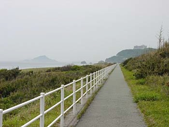


The base of the peninsula in the distance is this route's final destination: Irago. There's not much there except a lighthouse... and the all- important ferry to Ise.
You have one more tourist spot to see: Hii-no-Sekimon, literally sun-coming-out rock (I assume coming out of the big hole in said rock). The information on the sign is more geological than historical: sedimentary rock (not unsurprising, given its location on the coast) - specifically, chert - and formed 200 million years ago of the husks of radiolarians and other creatures at the bottom of the ocean far south... and later moved upward and hereward by the movement of the Pacific Plate. The hole is the result of the one-two punch of pressures/stresses and ocean currents. Most visitors undoubtedly don't even read the sign - they just have fun climbing through the hole.