


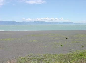


On this day, the weather was spectacular, and so was the scenery. It was late April, and there was spring green everywhere, even on the beach as you see here. Mt. Fuji is a bit to the left of the viewfinder in this photo.
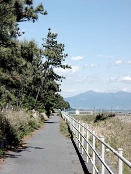
The first unexpected route disconnect comes very quickly. The route actually starts right up again nearby, but it's a bit confusing: head to the nearby "Kominkan" (local community center) and you'll see the sign (a helpful photo will eventually be on the Nuts & Bolts page). Once you get back on the route again, it continues west for some distance, with a white railing to let you know you're on the right path and signs asking you to be nice to the beach turtles (by, for example, not driving on the beach and crushing them to death while they're trying to lay their eggs). This photo is looking back the way you came.